53.176462, -1.098611
Broadcast 8 April 2012
Wessex Archaeology was commissioned by Videotext Communications Ltd to undertake a programme of archaeological recording and post-excavation work on an archaeological evaluation undertaken by Channel 4’s ‘Time Team’ at the site of King John’s Palace, Clipstone, Nottinghamshire (NGR 460344 364752).
One Romano-British feature was identified; this, and some residual pottery and other finds indicate sporadic Romano-British activity on the Site. A possible RomanoBritish feature was also found during previous excavations, in 1956.
The archaeological evidence seems to support the documented history of the Site, reflecting a programme of building and re-modelling throughout the medieval period. The earliest pottery found during the evaluation was dated to the 12th century, and this correlates with the first documentary reference to the Site, in the late 12th century. This earlier pottery was mainly found in the north-eastern part of the Site, suggesting that this was the early focus. However, pottery recovered from the foundation trenches of a structure in this area suggests that this was a later building, probably dating from the 13th or 14th century.
The Ground Penetrating Radar (GPR) survey shows a low amplitude response forming a possible enclosure. This corresponds well with the position of an enclosure ditch located by the previous excavation trenches. This feature lies beneath and therefore pre-dates the 13th/14th century building seen in the north-eastern part of Site; it may therefore relate to an earlier, 12th century complex.
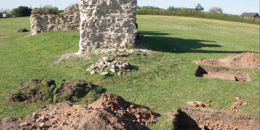
The majority of the datable finds are late medieval or early post-medieval in date. In three of the trenches, extensive robber cuts indicated the removal of substantial stone walls. It is, however, unclear how or whether these walls relate to the extant ruins. The GPR survey suggests that these extant ruins are the north-western limit of a large building complex extending to the north-east and south-east. Further possible buildings were suggested by correlations between the geophysical survey and the results of the previous excavation. Though undated, they are more likely to relate to the late medieval and early post-medieval phases of use. Due to the complexity of use of the site, however, and the amount of demolition and robbing, no clear phasing or floor plan can be determined.
The archaeological results and the historic maps suggest that the main depredation of the stonework and robbing of the masonry occurred in the 16th to 17th centuries.